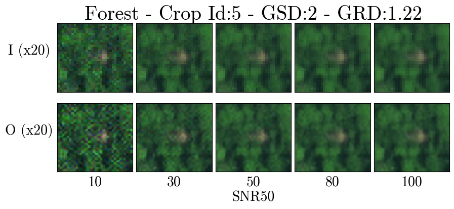
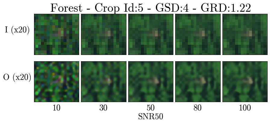
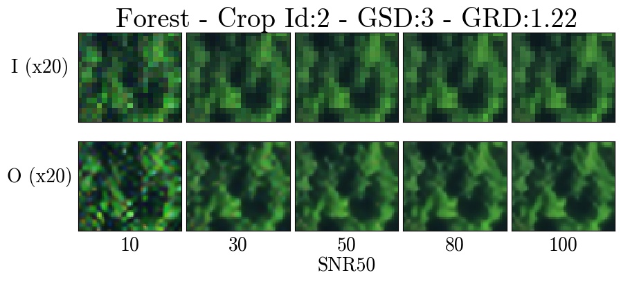
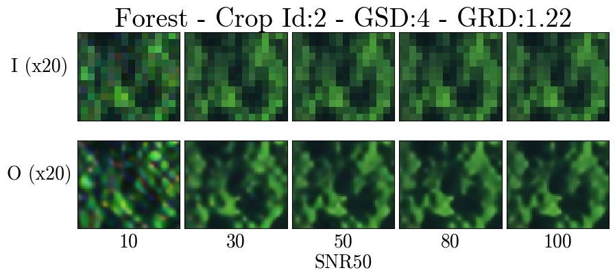
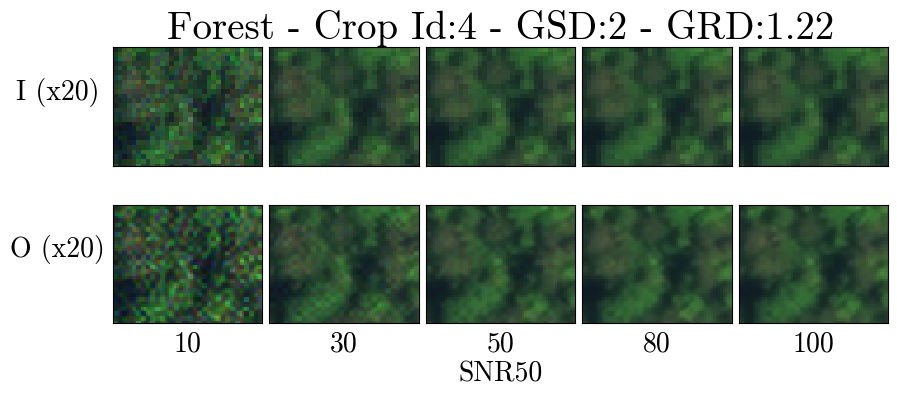
Forest
Zoomed crops for the Forest terrain type.
Each figure shows 20x zoomed crops of degraded images (I) across the SNR tradespace (top row) and the associated super-resolution pipeline output (O) (bottom row). Each figure shows a particular GSD degradation factor (x2, x3, or x4).
Crop 1


Crop 2

Crop 3
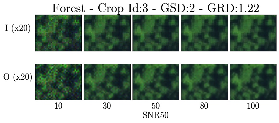


Crop 4


Crop 5