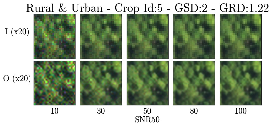
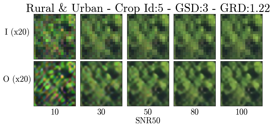
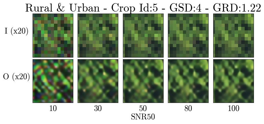
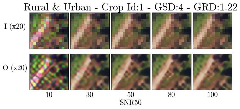
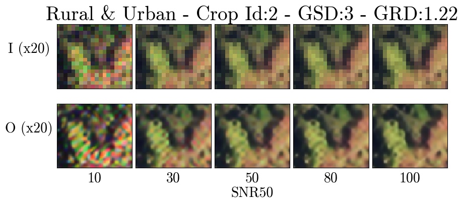
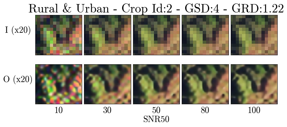
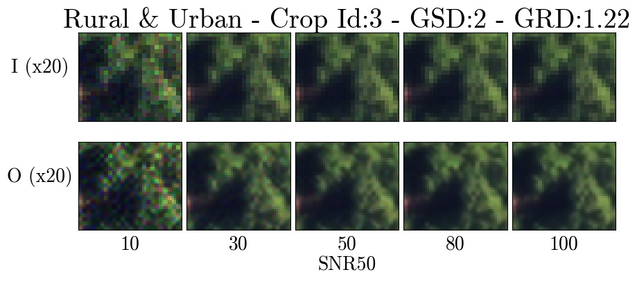
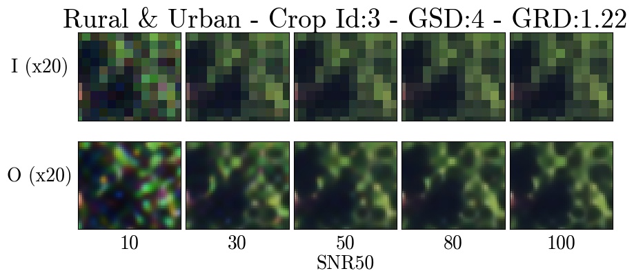
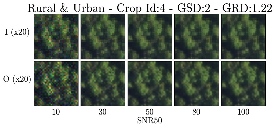
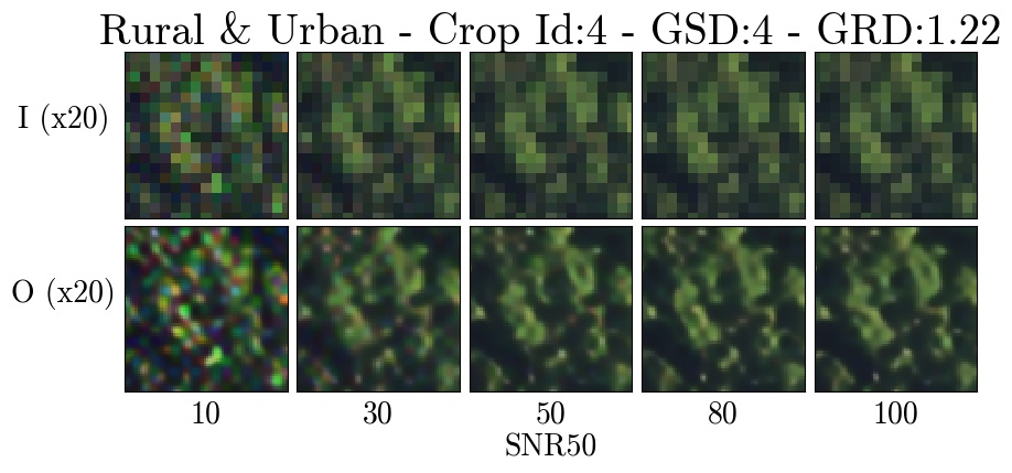
Rural with urban
Zoomed crops for the Rural with Urban terrain type.
Each figure shows 20x zoomed crops of degraded images (I) across the SNR tradespace (top row) and the associated super-resolution pipeline output (O) (bottom row). Each figure shows a particular GSD degradation factor (x2, x3, or x4).
Crop 1


Crop 2

Crop 3

Crop 4

Crop 5